Hello!
I’m Mst Sanjida Alam
Geospatial Data Analyst Public Health GIS Researcher Remote Sensing Data Analyst Environmental Health Researcher Climate Risk Researcher GeoAI & ML Specialist
Find Me Online :






Name : Mst Sanjida Alam
Experience : 12 Years
Currently Working:
Research Project: Wellcome-funded international project—"Exposing Hidden Heat: Mapping Heat-Driven Health Disparities and Policy Solutions in Dhaka, Bangladesh"
Ongoing Work: Under this project, I am currently assessing and mapping heat vulnerability in the Dhaka Metropolitan Area using machine learning and geospatial approaches. The study integrates environmental, demographic, health, and socioeconomic indicators to identify spatial disparities, vulnerable populations, and priority areas for climate-resilient urban planning and public health interventions.
About Me
I am a geospatial and environmental health researcher specializing in GIS, remote sensing, GeoAI, and machine learning. My research examines how climate and environmental change affect human health, vulnerable populations, and community resilience.
My primary interests include heat vulnerability, climate–health interactions, disaster risk, and wildfire, complemented by research on land-change modeling and forest dynamics. I also have extensive experience in geospatial research, teaching, and leadership.
Education
Education
2031 (Expected)
Doctor of Philosophy (PhD) in Community Health Sciences & Policy (Environmental Health)
School of Public Health
Louisiana State University Health Sciences Center New Orleans, LA, USA
2026
MS in Geographic Information Science (GIS)
Clark University, Worcester, MA, USA.
CGPA 3.89
2012
MS in Geography & Environmental Studies
University of Chittagong, Chittagong, Bangladesh.
CGPA 3.73
2010
B.Sc. in Geography & Environmental Studies
University of Chittagong, Chittagong, Bangladesh.
CGPA 3.64
Skills
Geospatial & Computational Programming:
Python (ArcPy, GeoPandas, PySAL, Scikit-learn), R, GEE, ArcGIS Pro, ArcGIS Online, QGIS, ENVI, SPSS, NVivo, Landsat, Sentinel, Thermal RS (LST), LiDAR, Spectral Indices, Image Segmentation.
Machine Learning & GeoAI:
Random Forest, SVM, Logistic Regression, Decision Trees, Gradient Boosting, XGBoost, LightGBM, CatBoost, MaxEnt, Mahalanobis Distance, MLP, ANN, CNN, LSTM, Ensemble Learning, Cross-Validation, Hyperparameter Tuning, Predictive Modeling.
Statistics & Spatial Statistics:
ANOVA, Two-Way ANOVA, Kruskal-Wallis, Correlation, Multiple Linear Regression, PCA, Trend Analysis, GWR, Spatial Regression, Spatial Autocorrelation (Moran’s I), Cluster Analysis, Hypothesis Testing.
Applied Spatial & Risk Analytics:
Geoprocessing, Raster/Vector Analysis, Interpolation, Density/Cluster Analysis, Space-Time Analysis, Hotspot Analysis, Network Analysis, LULC Change Modeling, Risk Mapping (Climate, Disaster, Environmental), Exposure & Vulnerability Analysis (Urban Heat, Community), Habitat Suitability.
Publications
Publications
Conference
Conference Abstract (Accepted)
1. Alam, M. S. (2026). Mapping Wildfire Susceptibility and Community Exposure across the United States Using GeoAI. Abstract accepted for presentation at the American Geophysical Union (AGU) Annual Meeting 2026, December 7–11, 2026, San Francisco, California, USA.
2. Alam, M. S. (2027). Machine Learning-Assisted Heat Vulnerability Assessment Across Dhaka District, Bangladesh. Abstract accepted for presentation at the American Association of Geographers (AAG) Annual Meeting 2027, February 8–12, 2027, New York City, New York, USA.
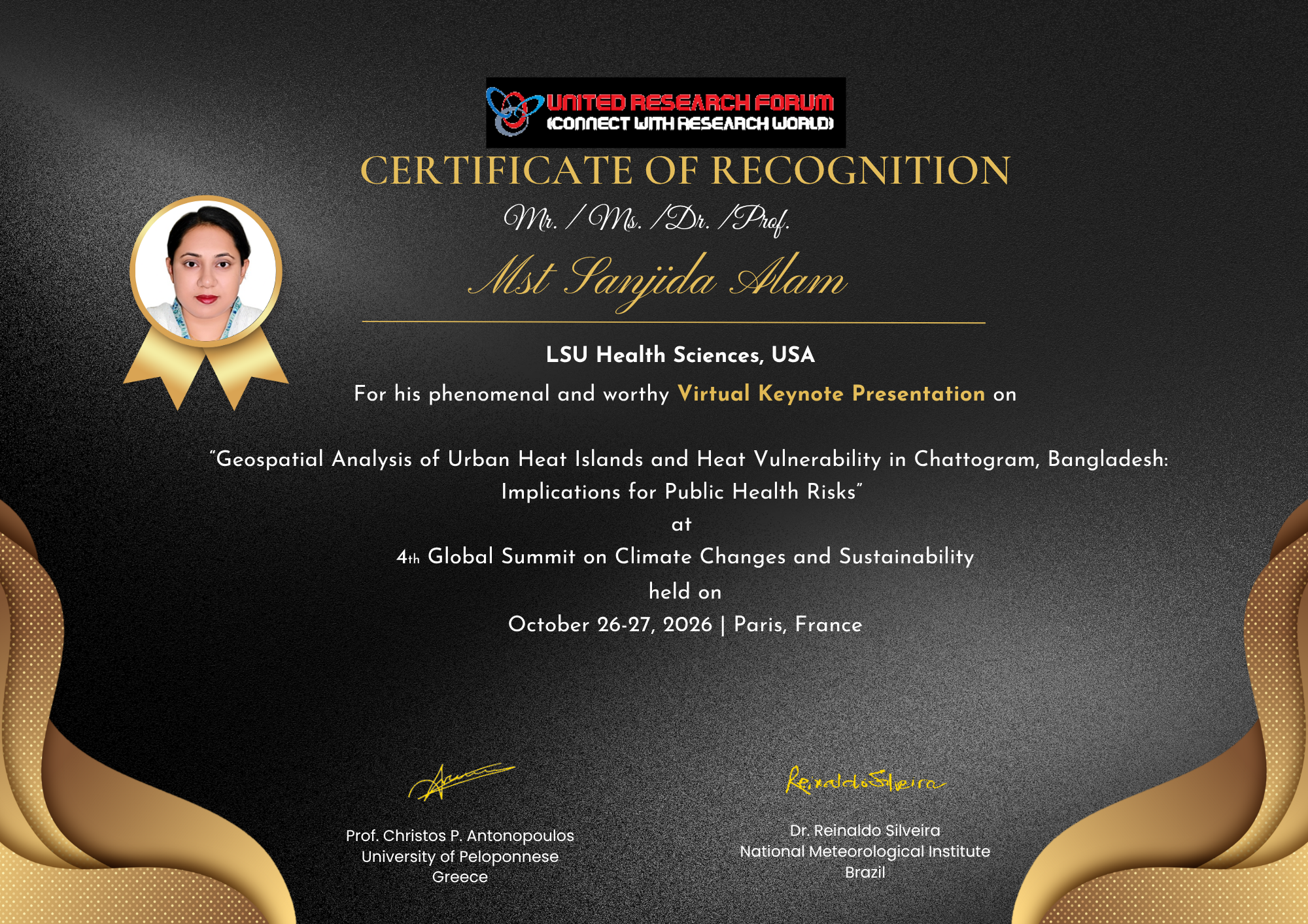
Key Note Speaker
Ongoing Research Work
Manuscripts in Progress
1. Alam, M. S. (2027). A Geospatial Analysis of Wildfire Patterns, Forecasting, and Human Risk Assessment in the United States. (Accepted as a book chapter in Springer Nature)
2. Alam, M. S. et al., (2027). Machine Learning-Based Integrated Flood Risk Assessment with Healthcare Accessibility Analysis in Bangladesh. (Under review at journal of flood risk management, Wiley)
3. Alam, M. S., & Rahman, M. M. (2027). Civil–Military Coordination in Disaster Management: Examining the Role of the Armed Forces in Kurigram, Bangladesh. (Under review at the journal of Public Organization Review, Springer Nature)
4. Alam, M. S. (2027). Interplay Between Wildfire Behavior, Insect Disturbances, and Fuel Management Strategies in Western U.S. Forests.
MS Thesis
MS Thesis
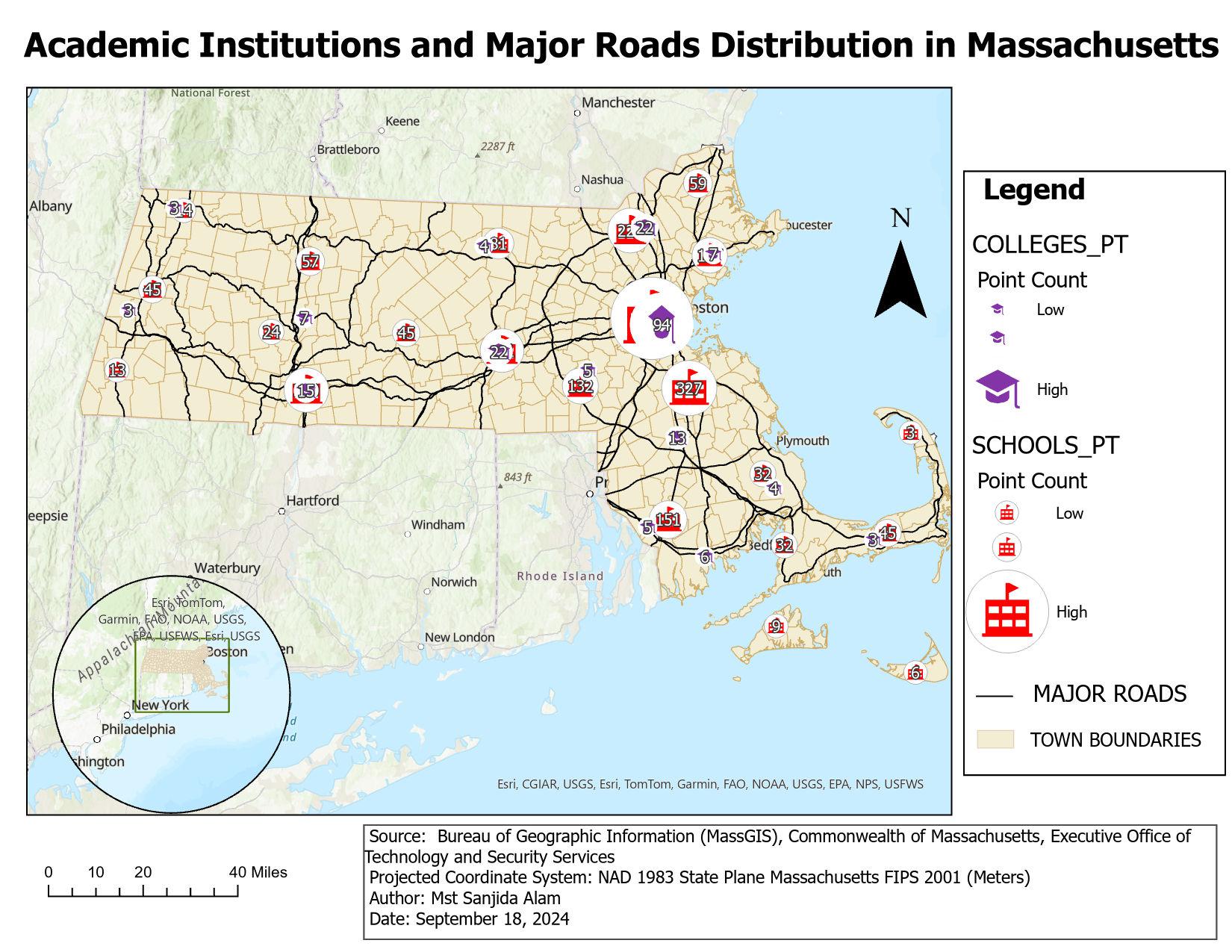
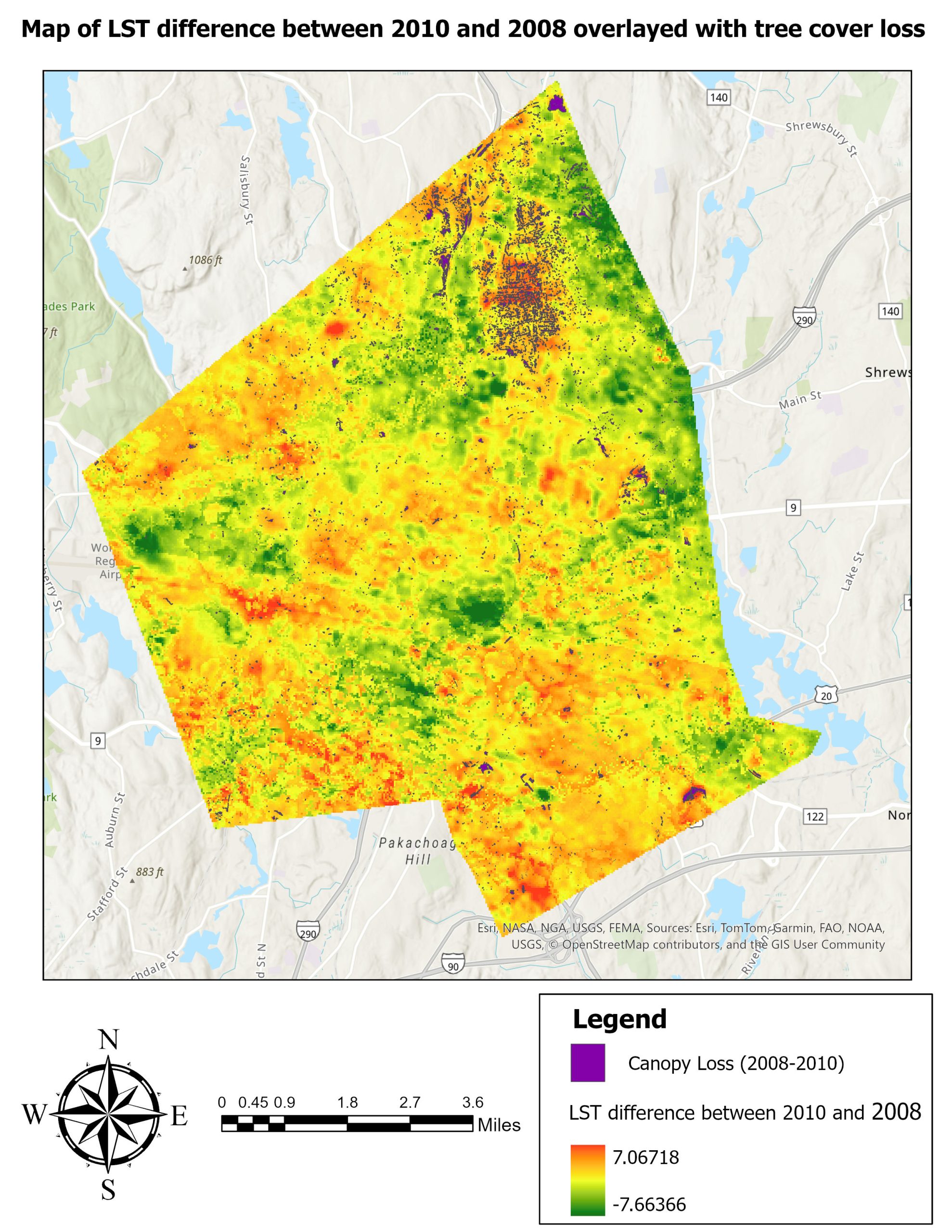
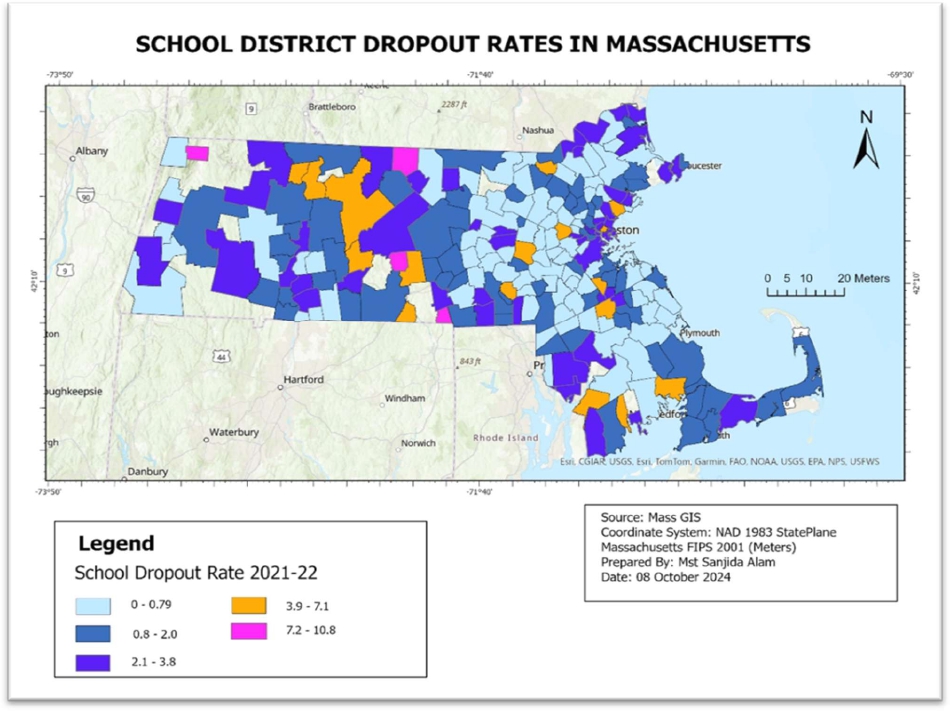
Academic Projects
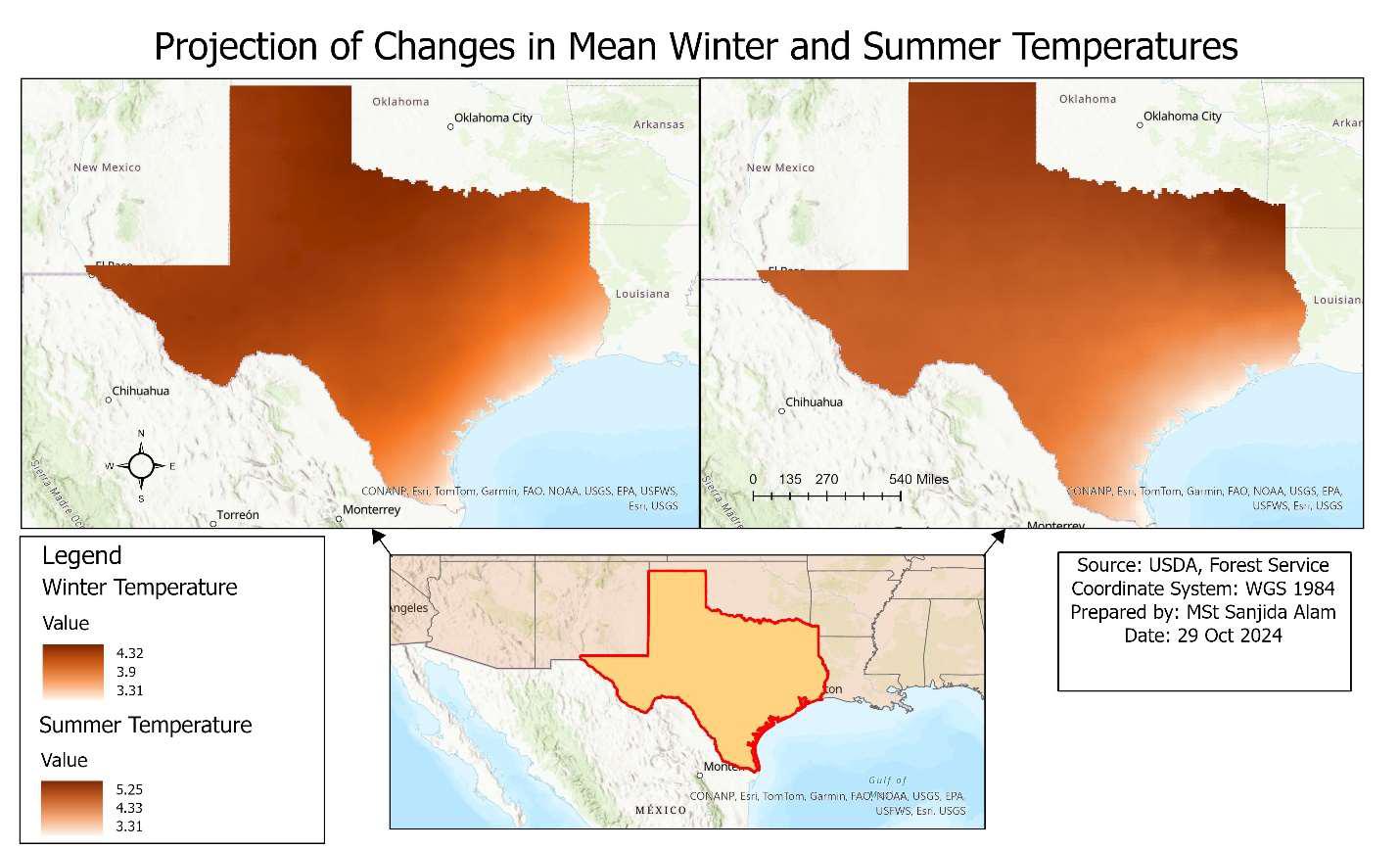
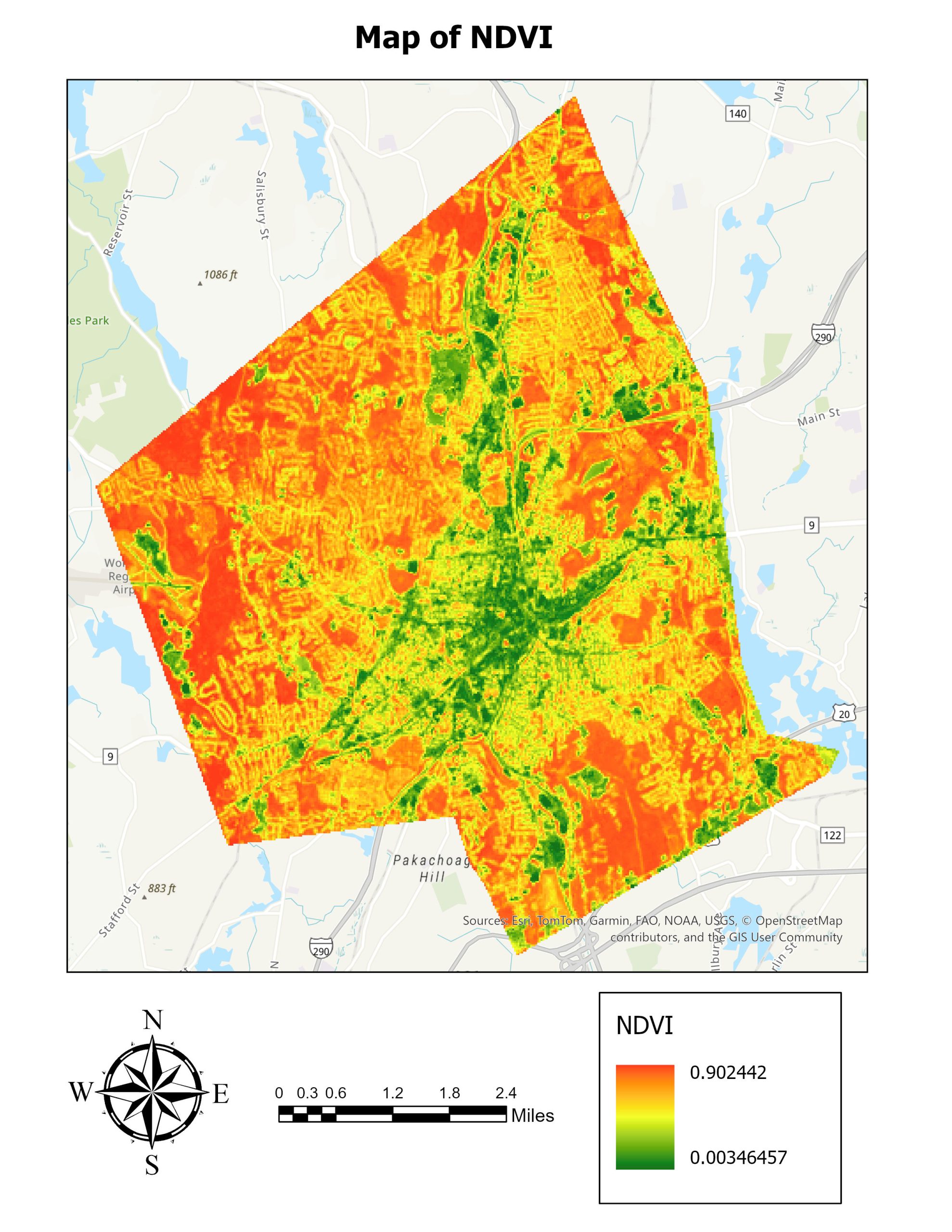
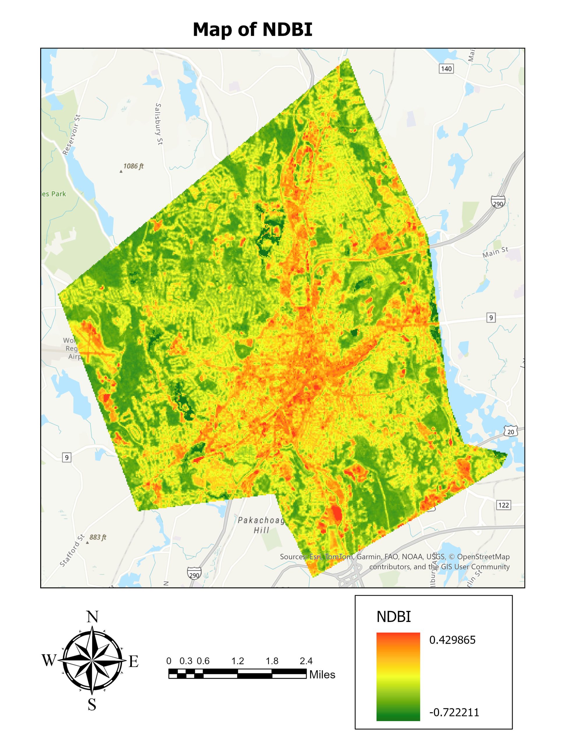
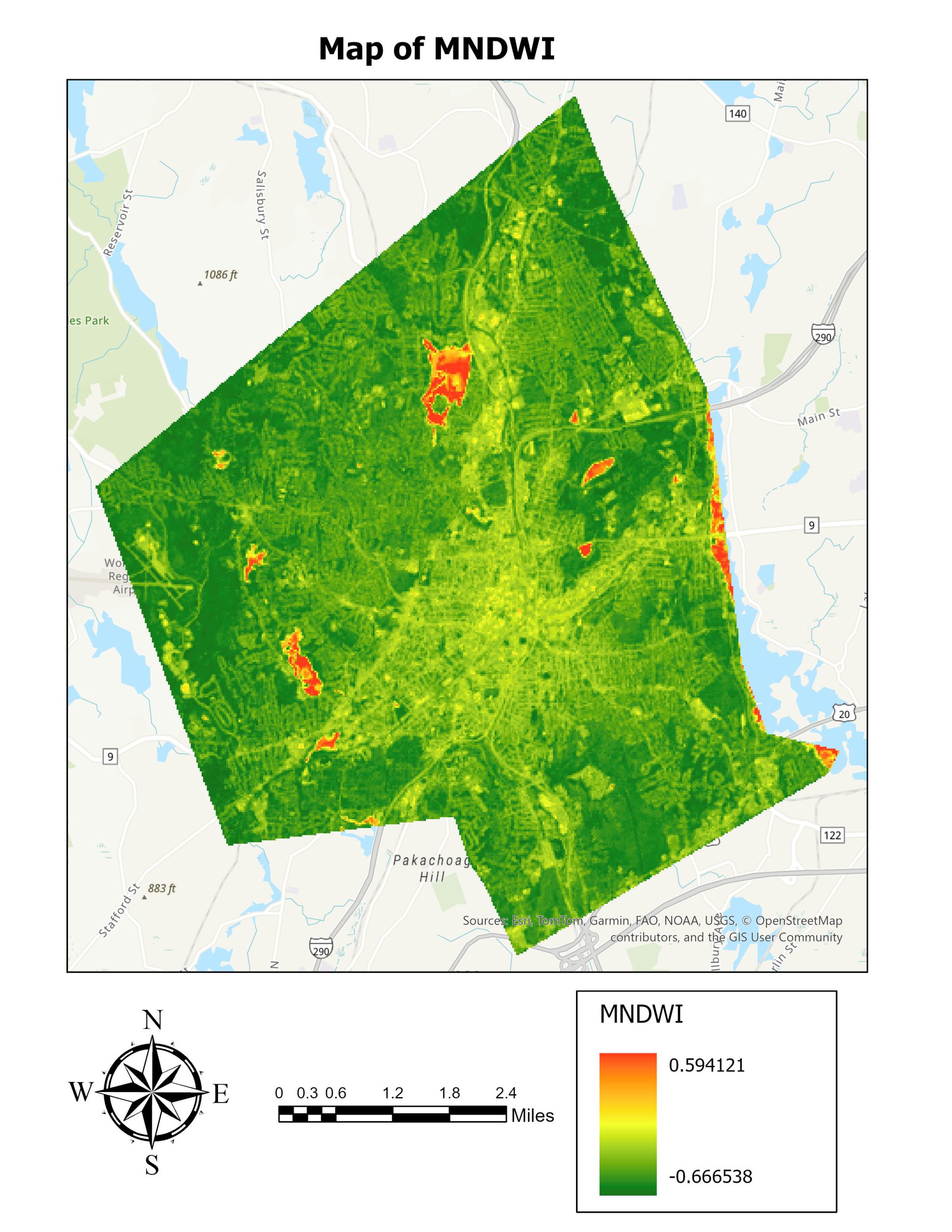
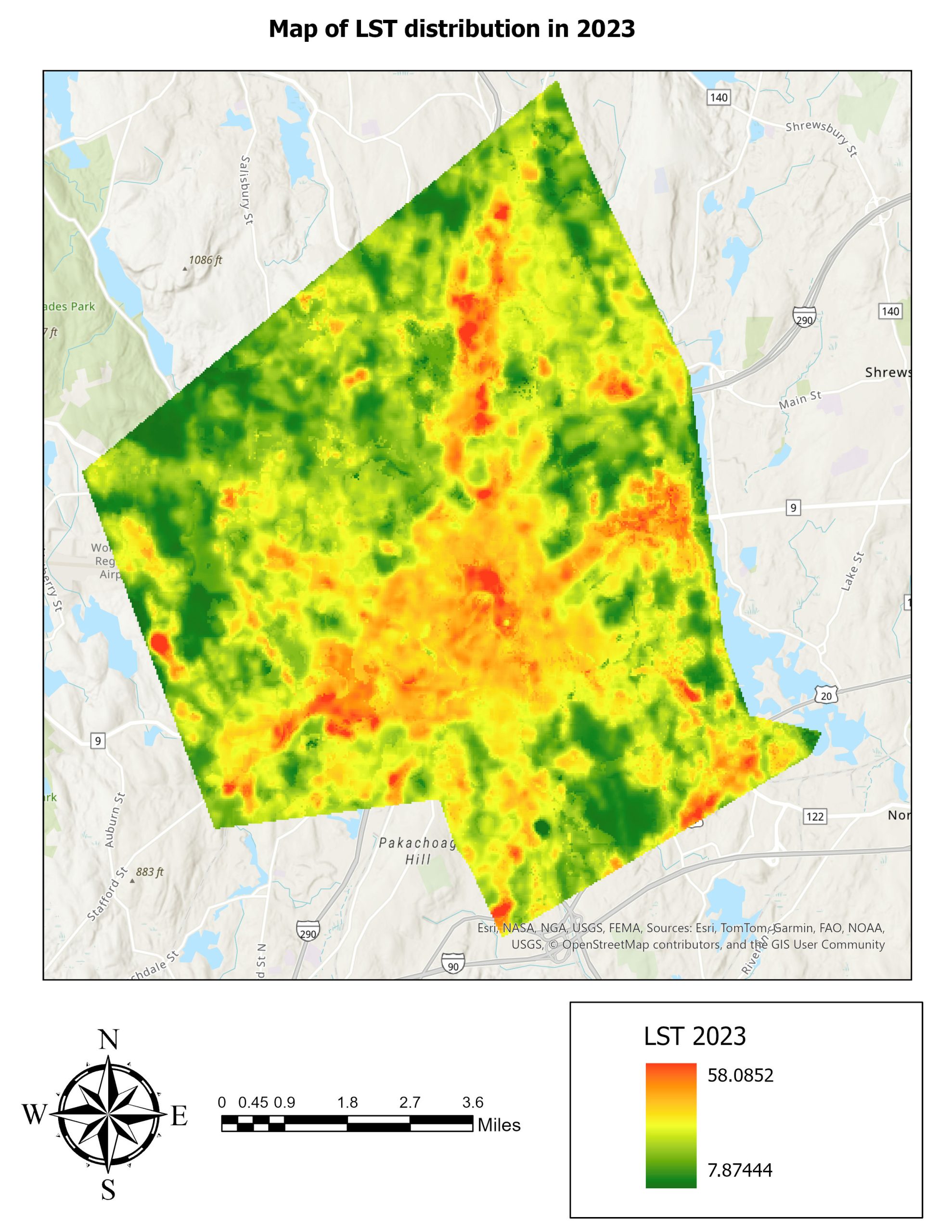
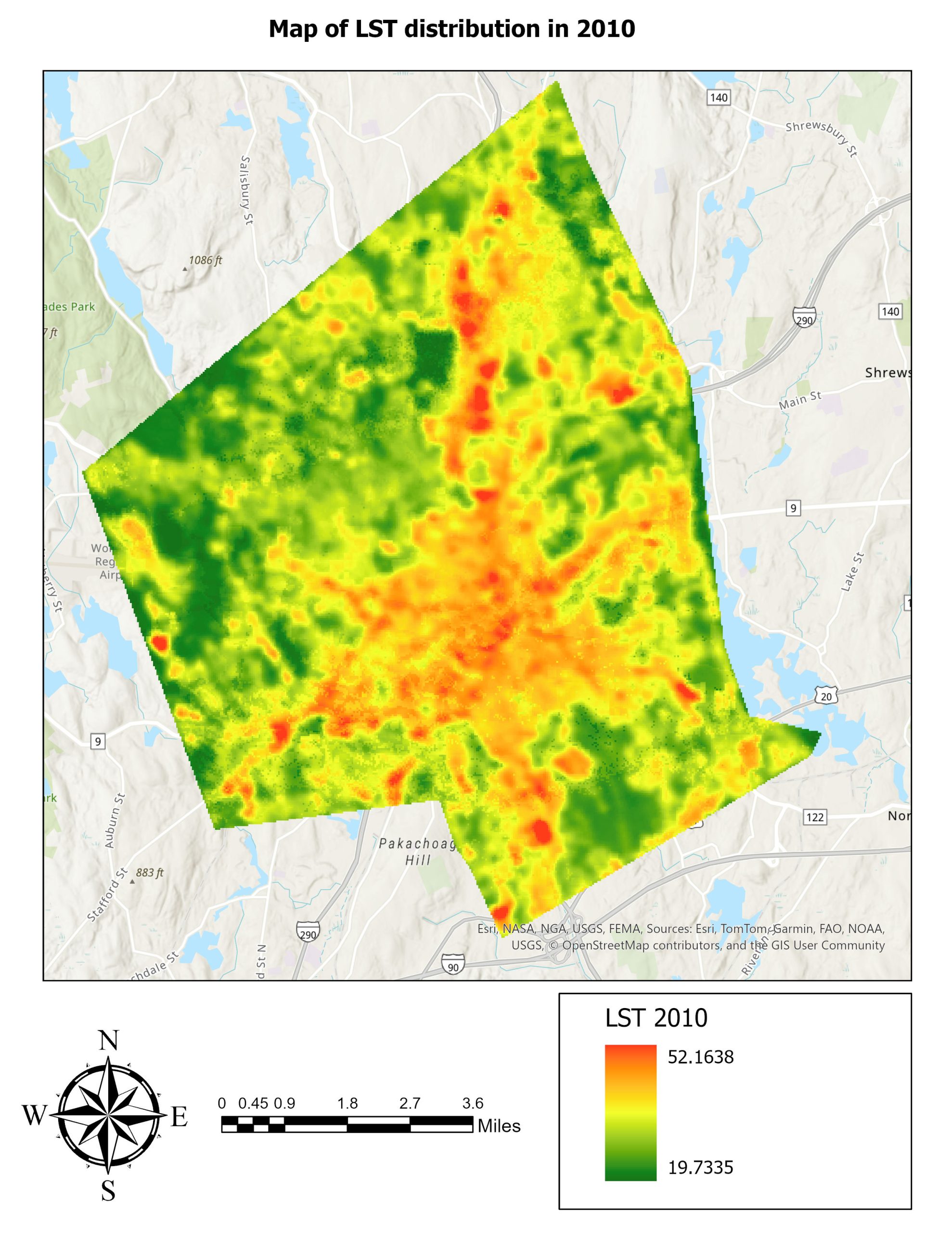
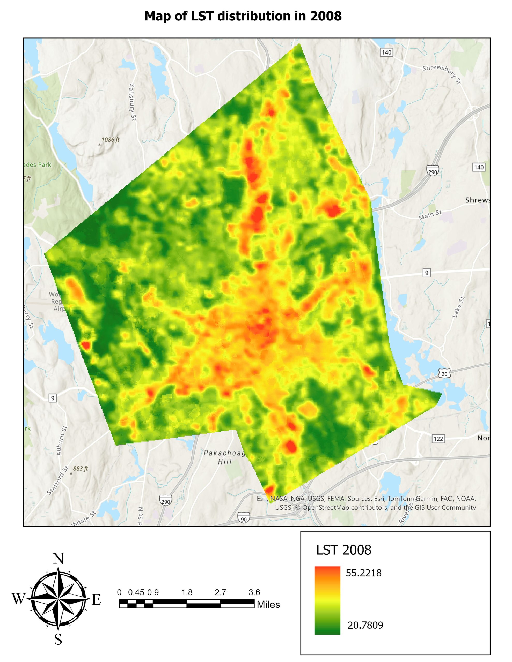
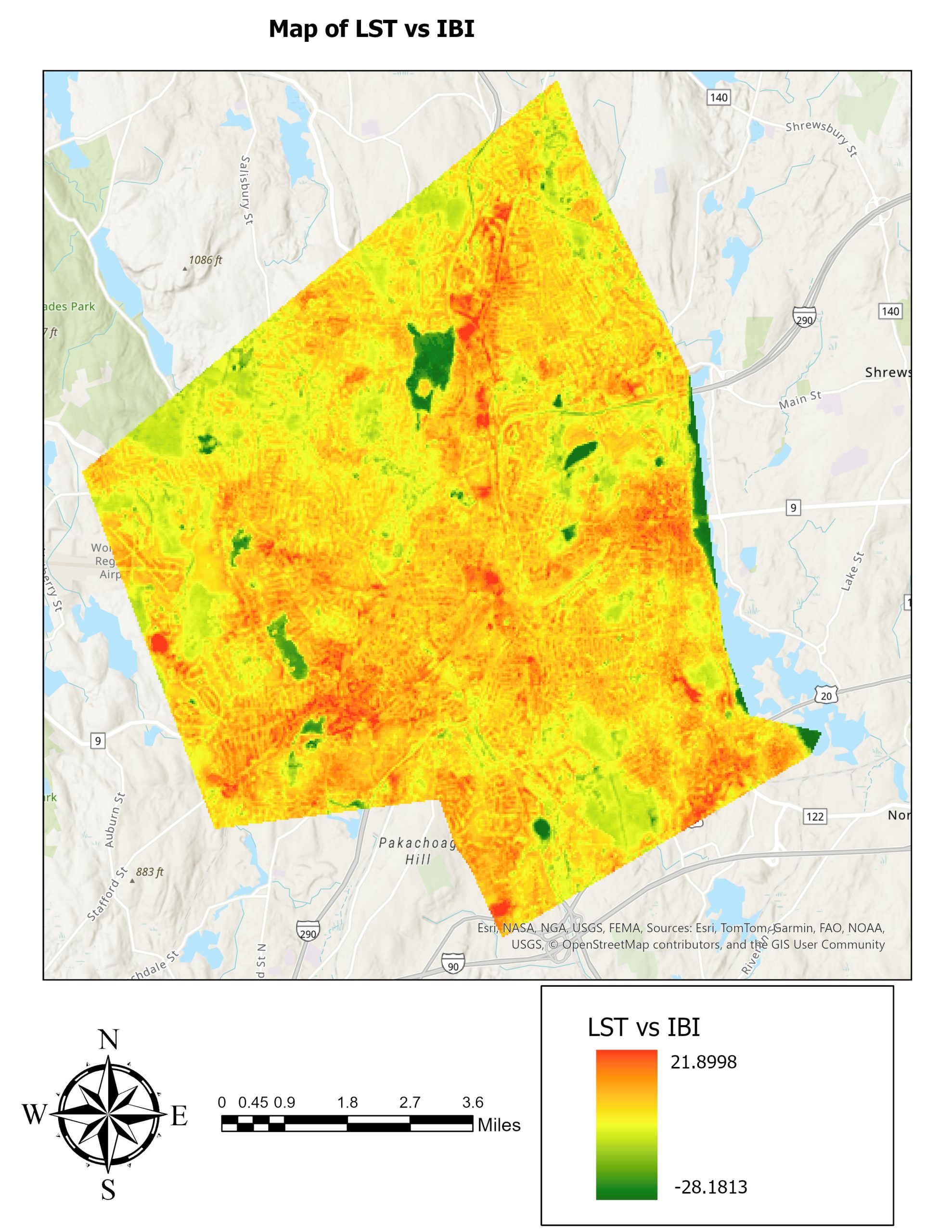
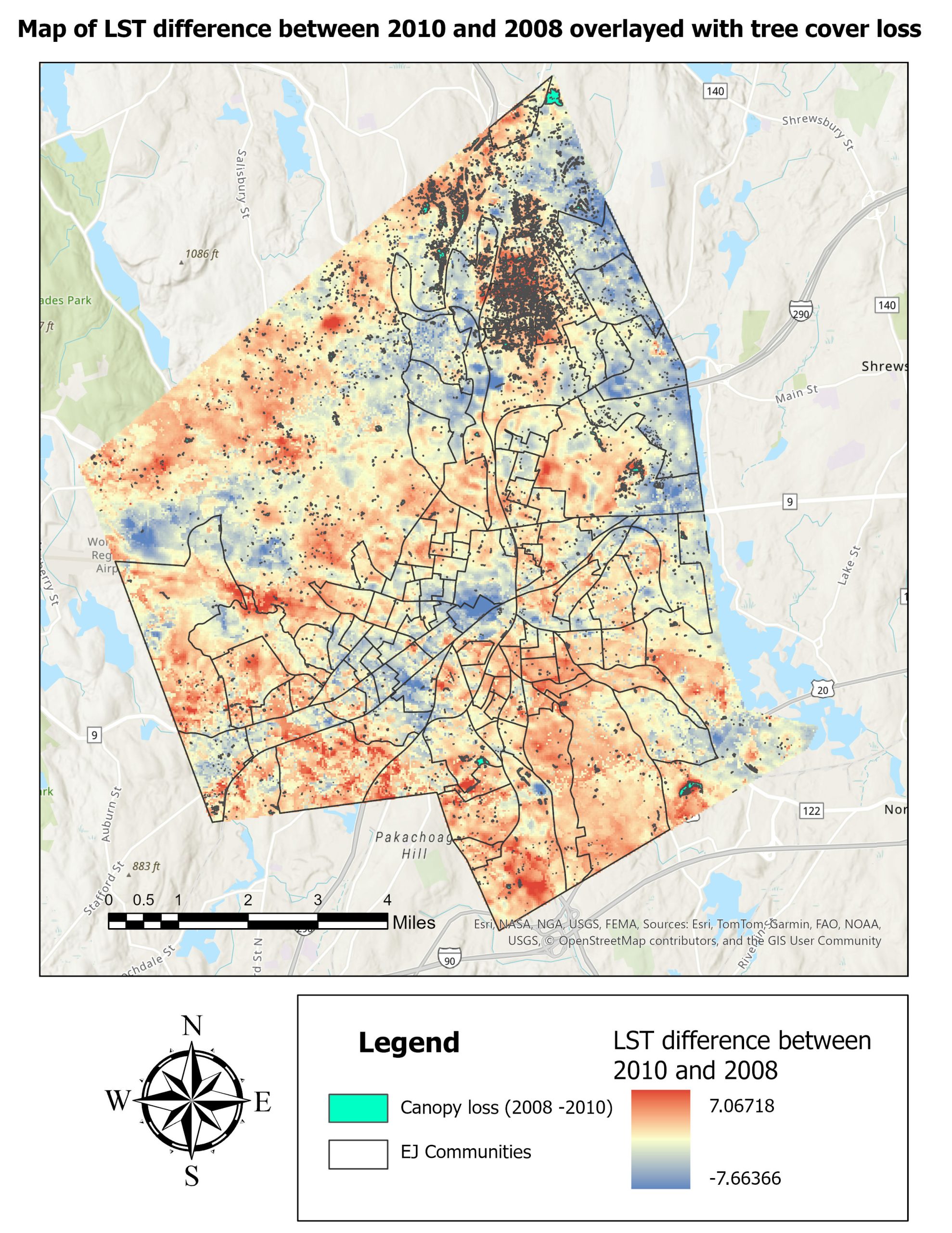
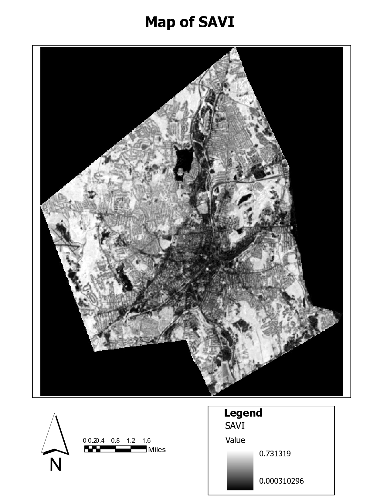
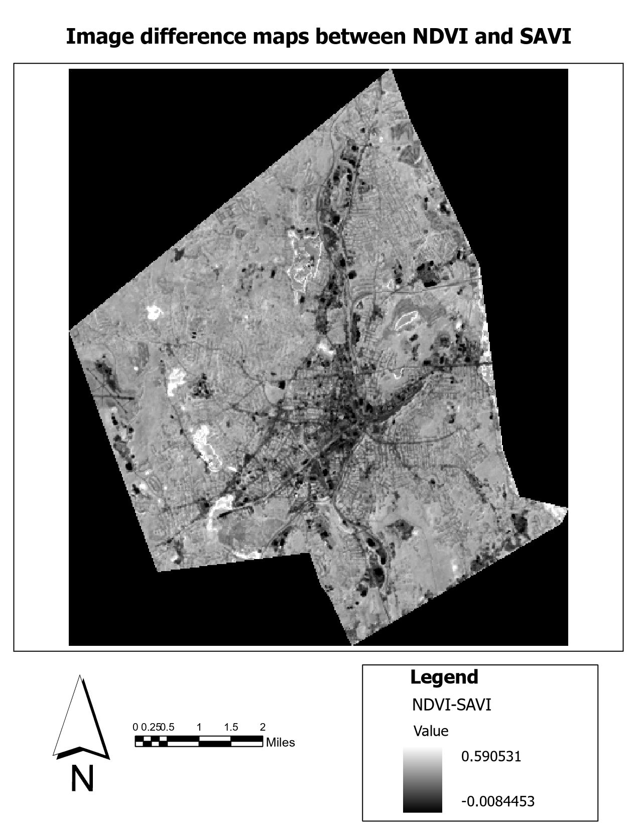
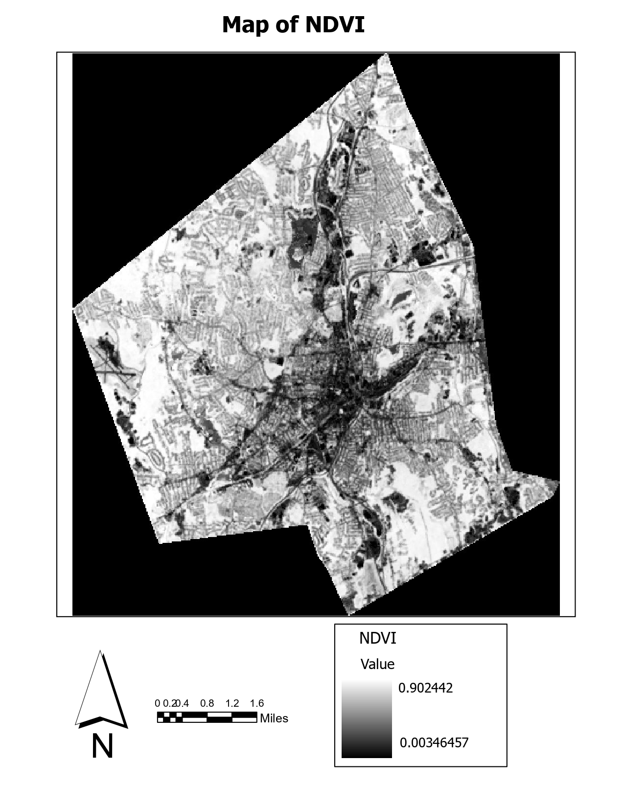
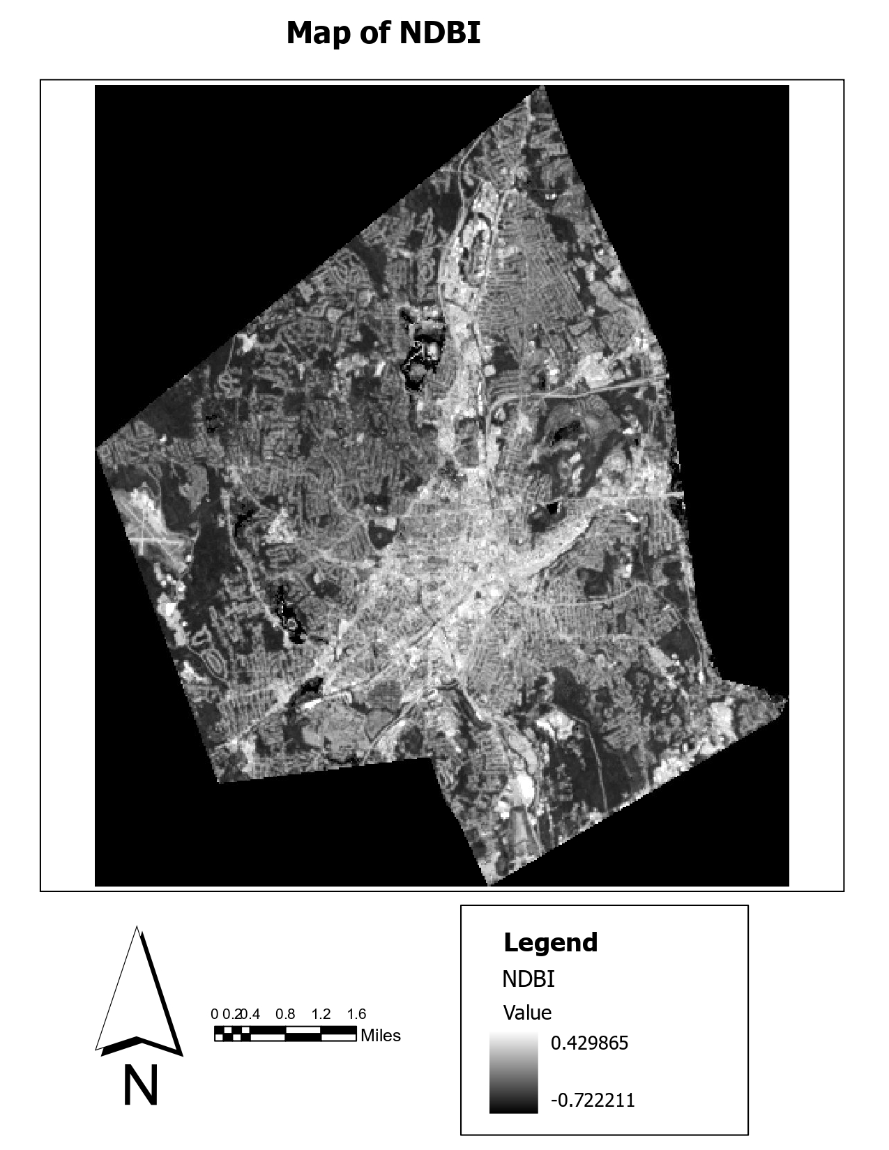
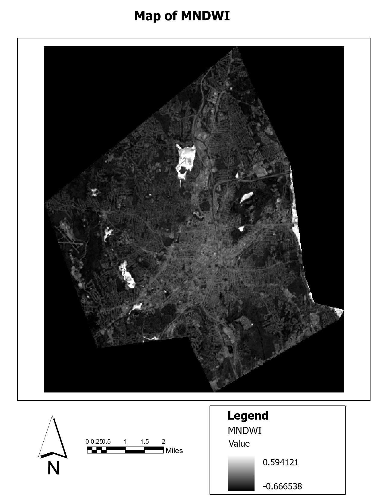
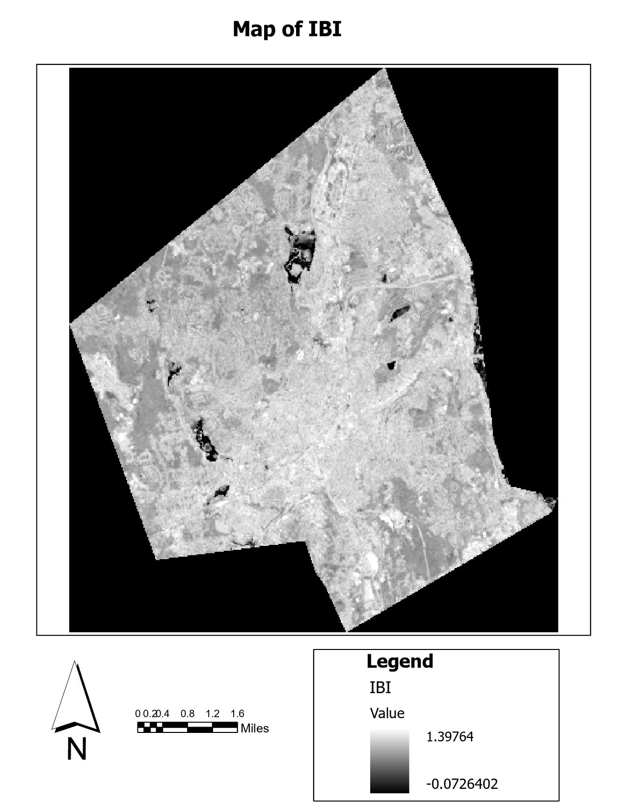
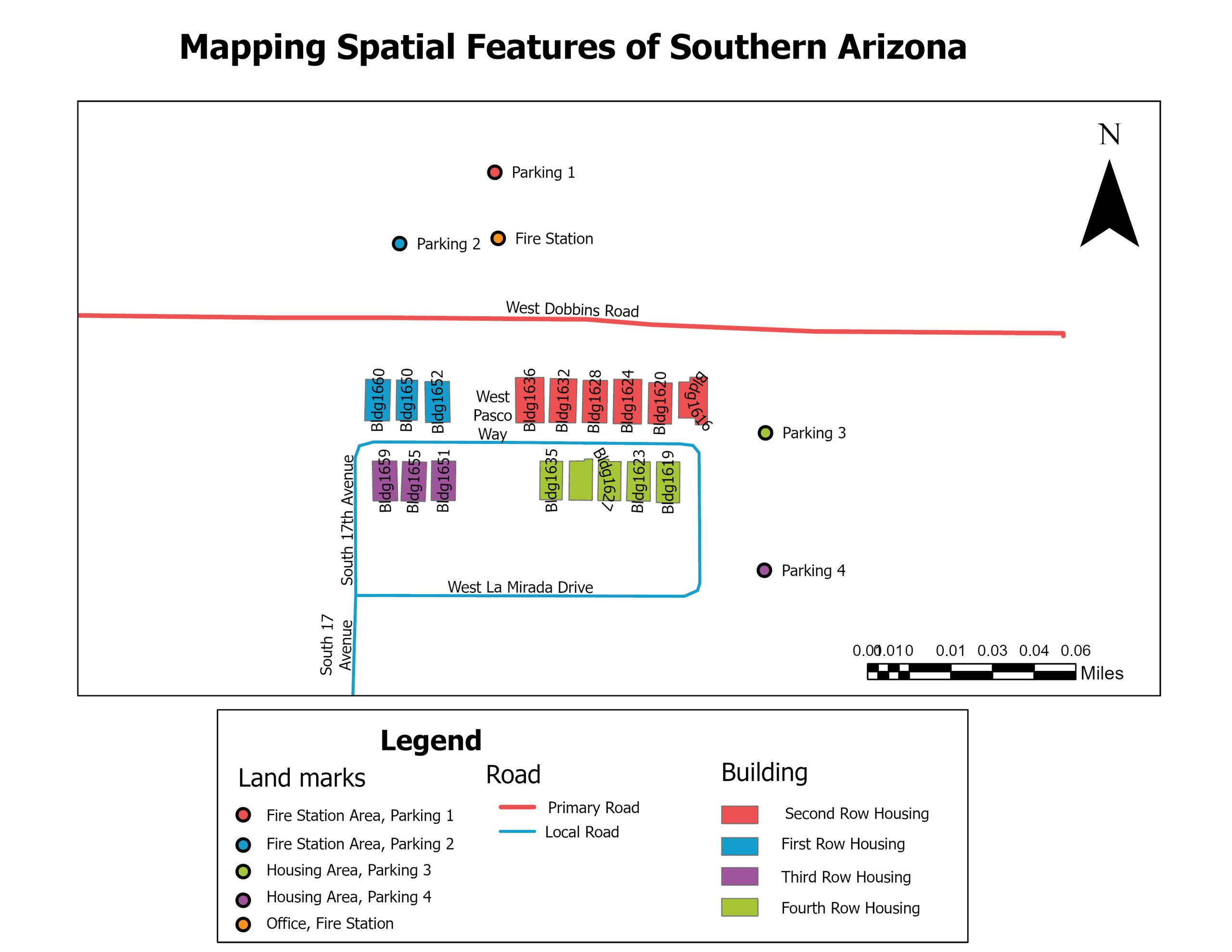
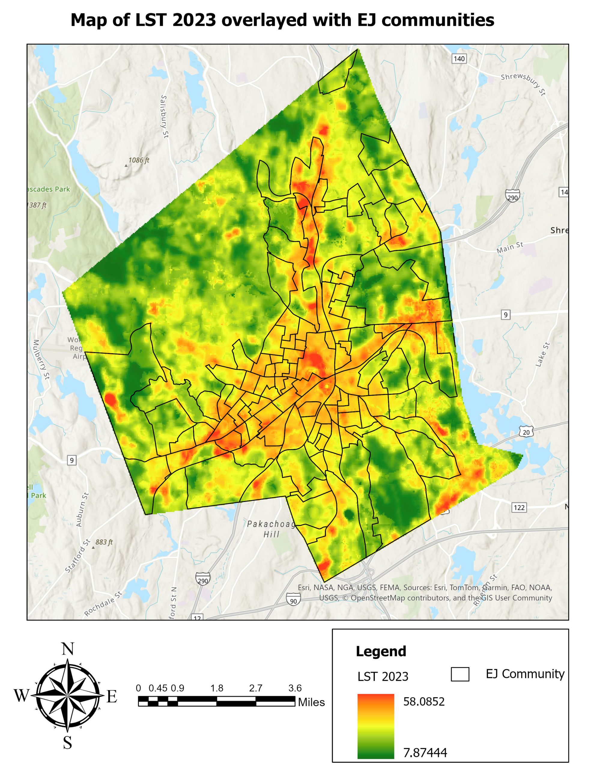
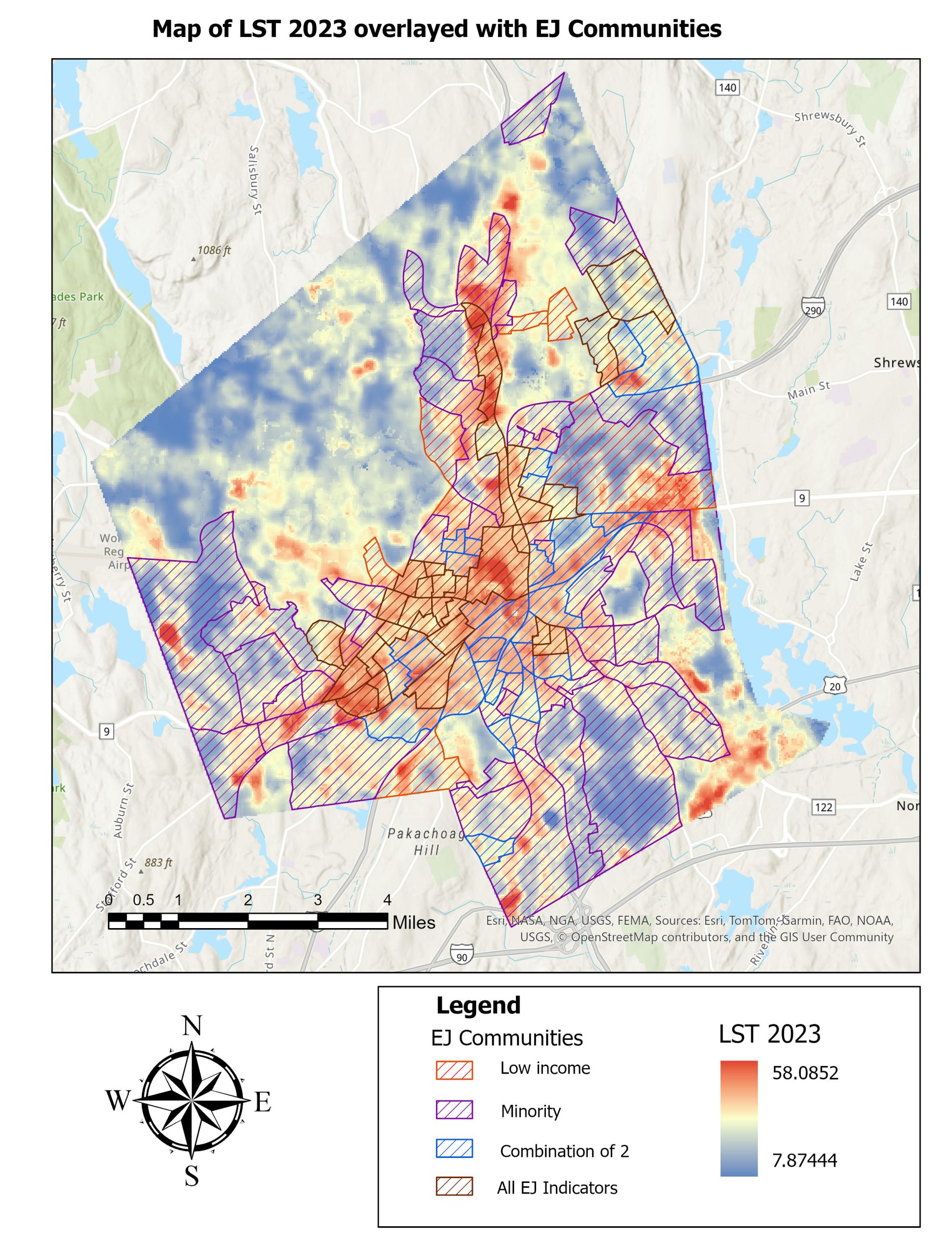
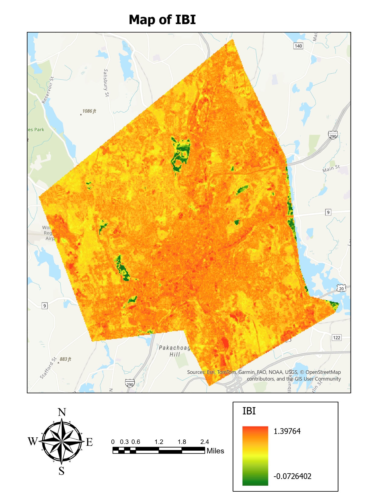
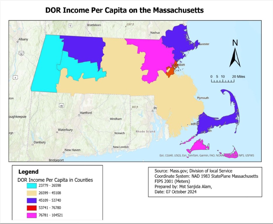
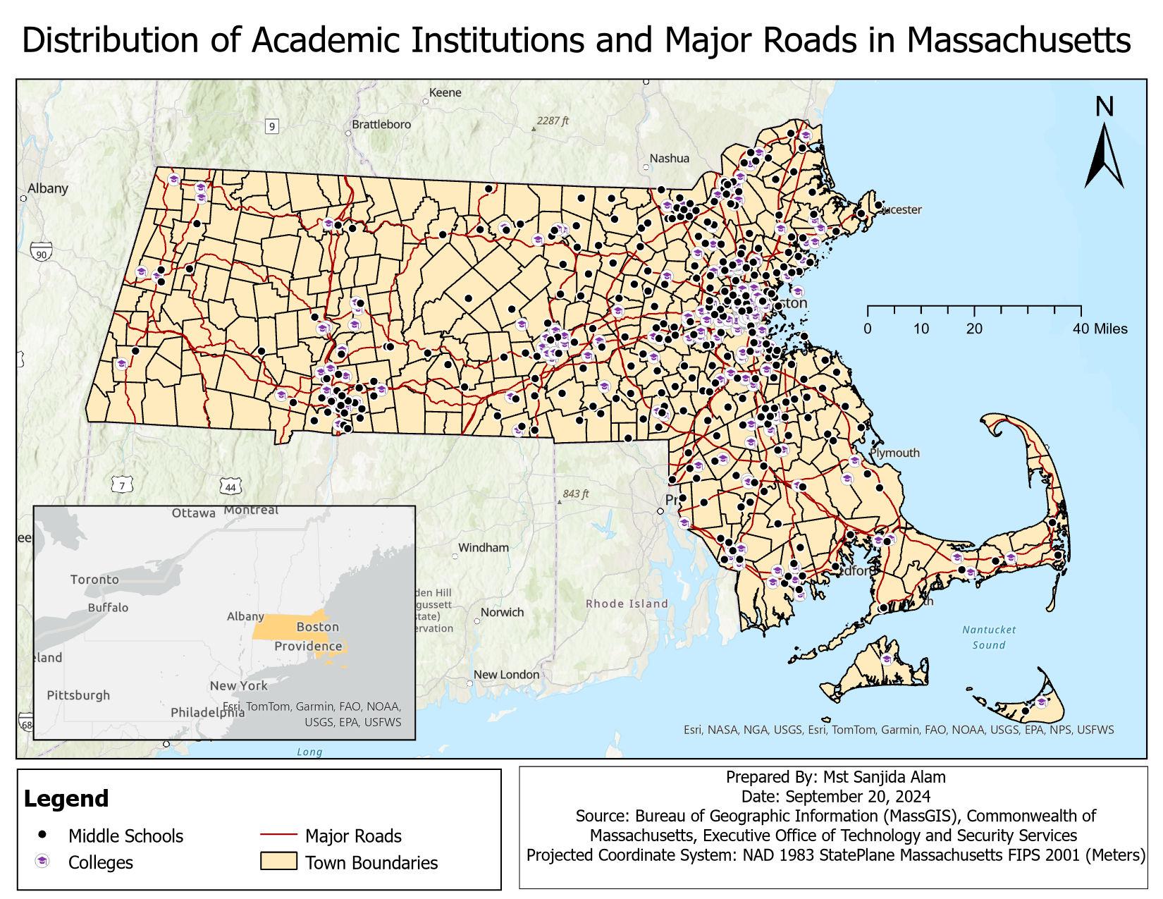
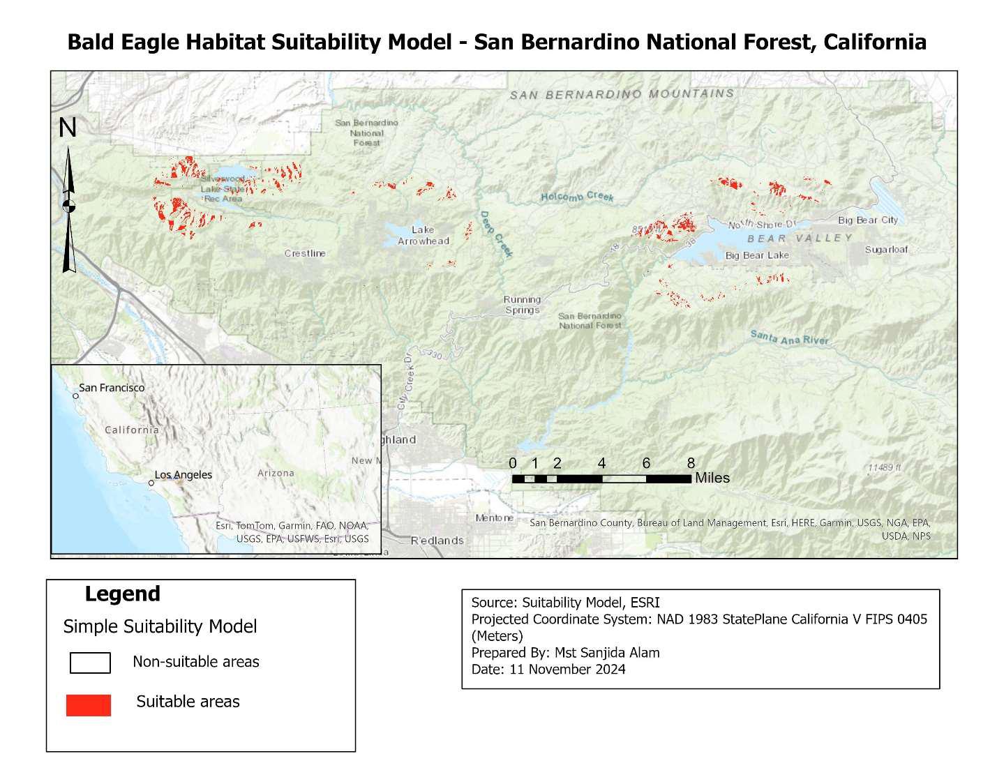
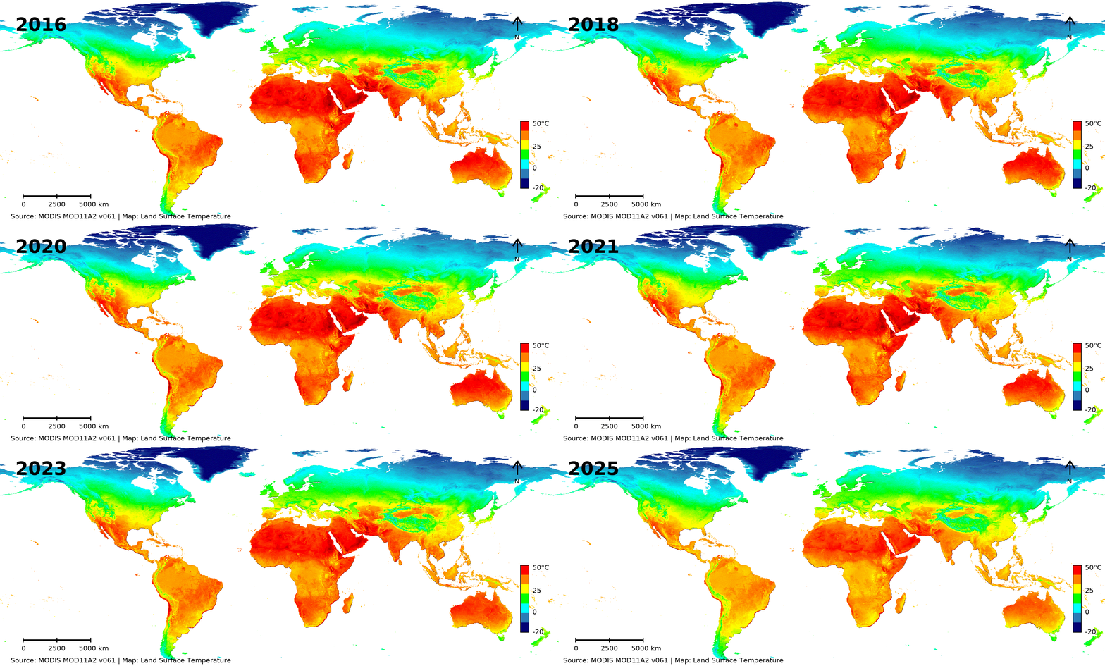
Recent Academic Projects
Recognition
Awards and Recognition
Reviewer
Reviewer Certificate
Reviewer of Elsevier journal, Progress in Disaster Science:
Reviewer of Elsevier journal, Sustainable Cities and Society:
Reviewer of Springer Nature journal Spatial Information Research:
Reviewer of Springer Nature journal Discover Environment:
Reviewer of Springer Nature journal Discover Sustainability:
Reviewer of Springer Nature journal Scientific Data:
Reviewer of Springer Nature journal, Theoretical and Applied Climatology:
Reviewer of Springer Nature journal, Earth Systems and Environment:
Reviewer of Revue Internationale de Géomatique (International Journal of Geomatics)
Reviewer of the Journal of Geography, Environment and Earth Science International:
Reviewer of the Asian Journal of Geographical Research:
Reviewer of the Asian Journal of Environment & Ecology:
Reviewer of BP International:
Experience
Professional Experience
August 2026 to Present
Graduate Research Assistant
Louisiana State University Health Sciences Center New Orleans, LA, USA
August 2025 to January 2026
Center for Geospatial Analytics, Clark University, Worcester, MA, USA
July 2024 to August 2024
GREENS- GIS Research for Environment and Sustainable Solutions.
Lead research and training programs on GIS, remote sensing, and climate resilience; help with strategic planning and organizational growth; and support environmentally friendly solutions.
November 2022 to August 2024
Principal
Mymensingh International School (Major, Bangladesh Army- Education Corps)
Managed academic and administrative operations, ensuring compliance, integrating digital tools, leading faculty development, streamlining resources, and fostering community relations to enhance learning outcomes and engagement.
June 2017 to November 2022
Education Officer
Artillery Centre & School (Major, Bangladesh Army- Education Corps)
Developed COVID-19, operational, and tidal-effect maps to support planning and mitigation, while supervising cadet training, leading geography and navigation sessions, creating instructional materials, and ensuring academic performance and discipline.
December 2014 to June 2017
Academic Instructor
Bangladesh Military Academy (Captain, Bangladesh Army- Education Corps)
Taught Geography, Environmental Studies, and Geopolitics, trained cadets in map reading and navigation with ArcGIS, and developed course materials while assessing performance to support academic growth.
December 2012 to December 2014
General Staff Officer Grade-3
Headquarter 44 Infantry Brigade, Cumilla Cantonment (Lieutenant, Bangladesh Army- Education Corps)
Managed academic training and welfare programs to boost readiness and morale, coordinated interagency exercises to strengthen disaster response, streamlined administrative processes for efficiency, and developed specialized training modules to enhance operations.
Professional Affiliations & Community Engagement
Professional Affiliations
- Member, American Association of Geographers (AAG)
- Member, American Geographical Society (AGS)
- Member, Association of Pacific Coast Geographers (APCG)
- Member, American Geophysical Union (AGU)
National Environmental Health Association (NEHA)
American Public Health Association (APHA)
- Professional, Women in Geospatial Science and Health
International Society for Environmental Epidemiology (ISEE)
International Society for Urban Health (ISUH)
Founding member of GREENS – GIS Research for Environment and Sustainable Solutions
- Member, Geography and Environment Society, CU, Bangladesh
- Member, Army Officers Club
- Member, Army Golf Club
- Military Club Member
- Member, Chittagong Club
Professional Courses
- Pre-Commission Training and Post-Commission Training in Bangladesh Army, 2012
- Education Officer Basic Course in Bangladesh Army, 2013
- Standard & Advanced Map Reading course in Bangladesh Army, 2013
- Junior Command and Staff Course in School of Infantry and Tactics in Bangladesh Army, 2017
- Pre-deployment training on United Nations Peacekeeping mission in Bangladesh Institute of Peace Support Operation Training (BIPSOT), 2020
Community Engagement
- Volunteered with Worcester Regional Council, Worcester, MA, USA, January, 2026
- Member of Disaster and Development
Organization (DADO) - Participate in the national Tree Plantation Program, Bangladesh (2012 to 2024)
- Say No to Drug campaign, Bangladesh (2019 to 2024)
- Eve teasing protesting activities against teen girls, Bangladesh (2019 to 2024)
- COVID awareness program, Bangladesh (2020 to 2023)
- Environmental awareness program, Bangladesh (2005 to 2024).
Projects
Projects

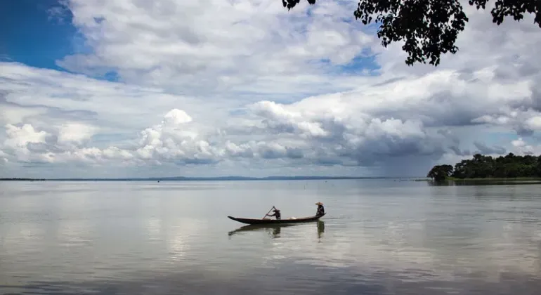
Haor Dependency and Disaster Management: A Case Study of Hakaluki Haor (2010)

Environmental Characteristics of Jamuna Floodplain and its Relationship with Jamuna Multipurpose Bridge (2008)
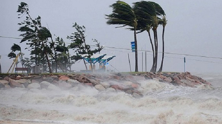
Recent Tsunami Impact on Coastal Areas of Bangladesh: A Study on Local People’s Perception (2006)
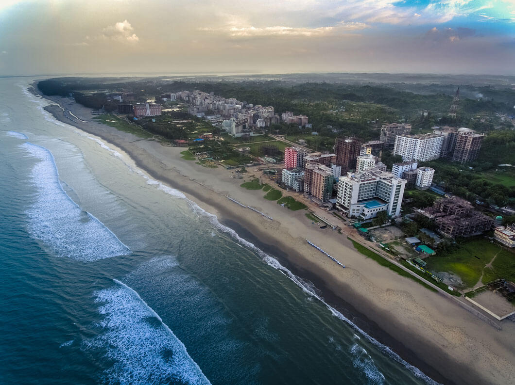
Quality of Living Environment of Cox’s Bazar City, Bangladesh (2006)
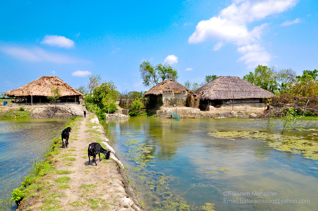
Impact of Shrimp Cultivation on Socioeconomic Conditions: A Case Study of Satkhira District (2005)